Drone Inspections · Greater Manchester & Cheshire
A clearer view of your building’s condition.
Aero Tecta captures detailed aerial imagery of roofs, chimneys, façades and difficult-to-access structures. Every flight is planned by a building surveyor with more than 25 years’ experience — so the photographs show what matters.
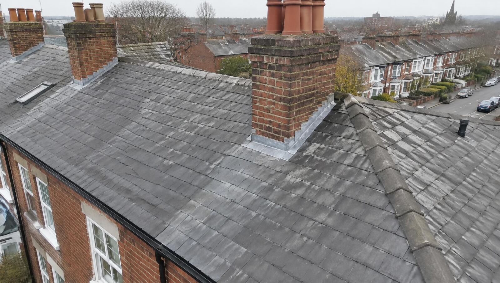
FIG. 01 — Pitched slate roof and chimney stacks, terraced street. Illustrative image.
01Services
Three areas of focus.
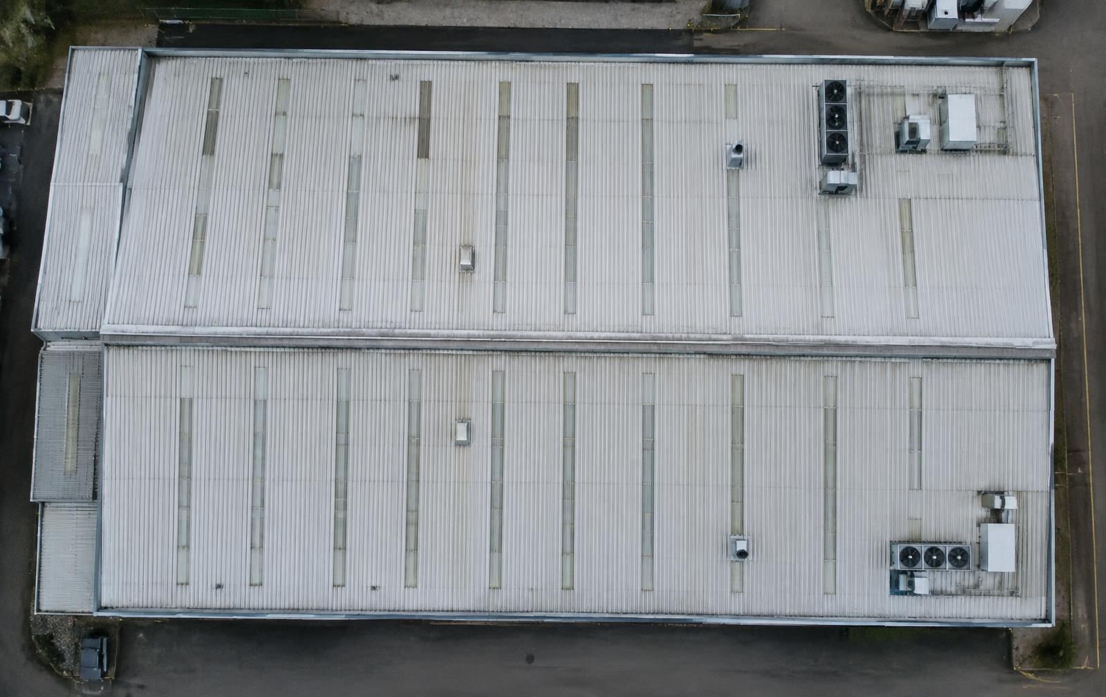
 02Commercial Buildings & Façades Industrial roofs, offices, apartment blocks and high-level elevations, recorded for managing agents, surveyors and contractors.
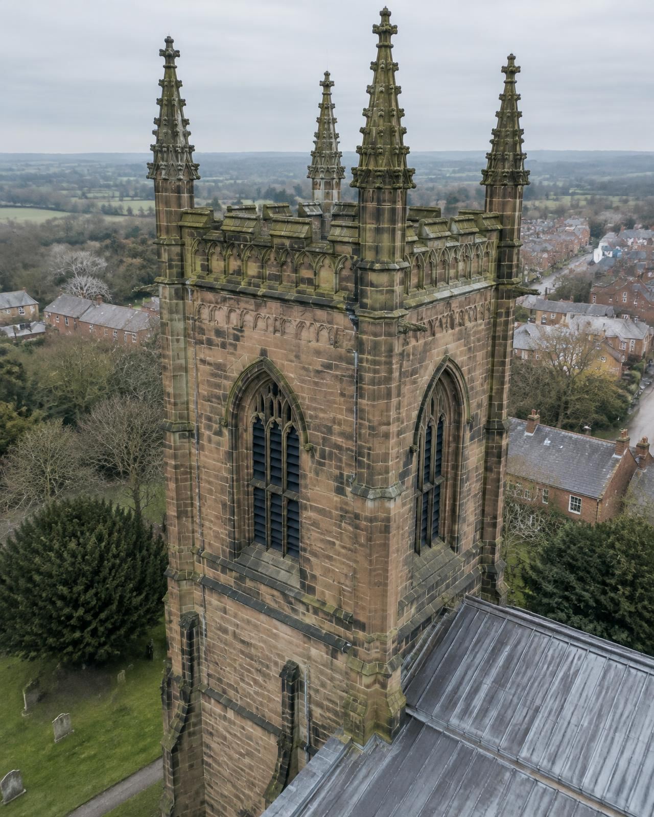
 03Heritage & Hard-to-Reach Structures Churches, towers, historic roofs and stonework, planned carefully with the people responsible for the site.
02Inspection outputs
From the overall view to the detail.
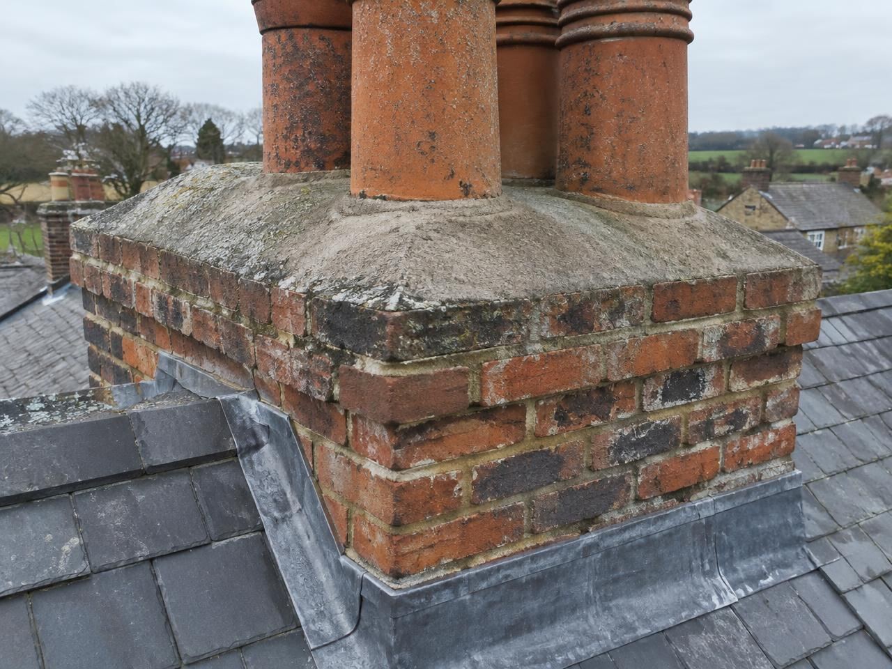
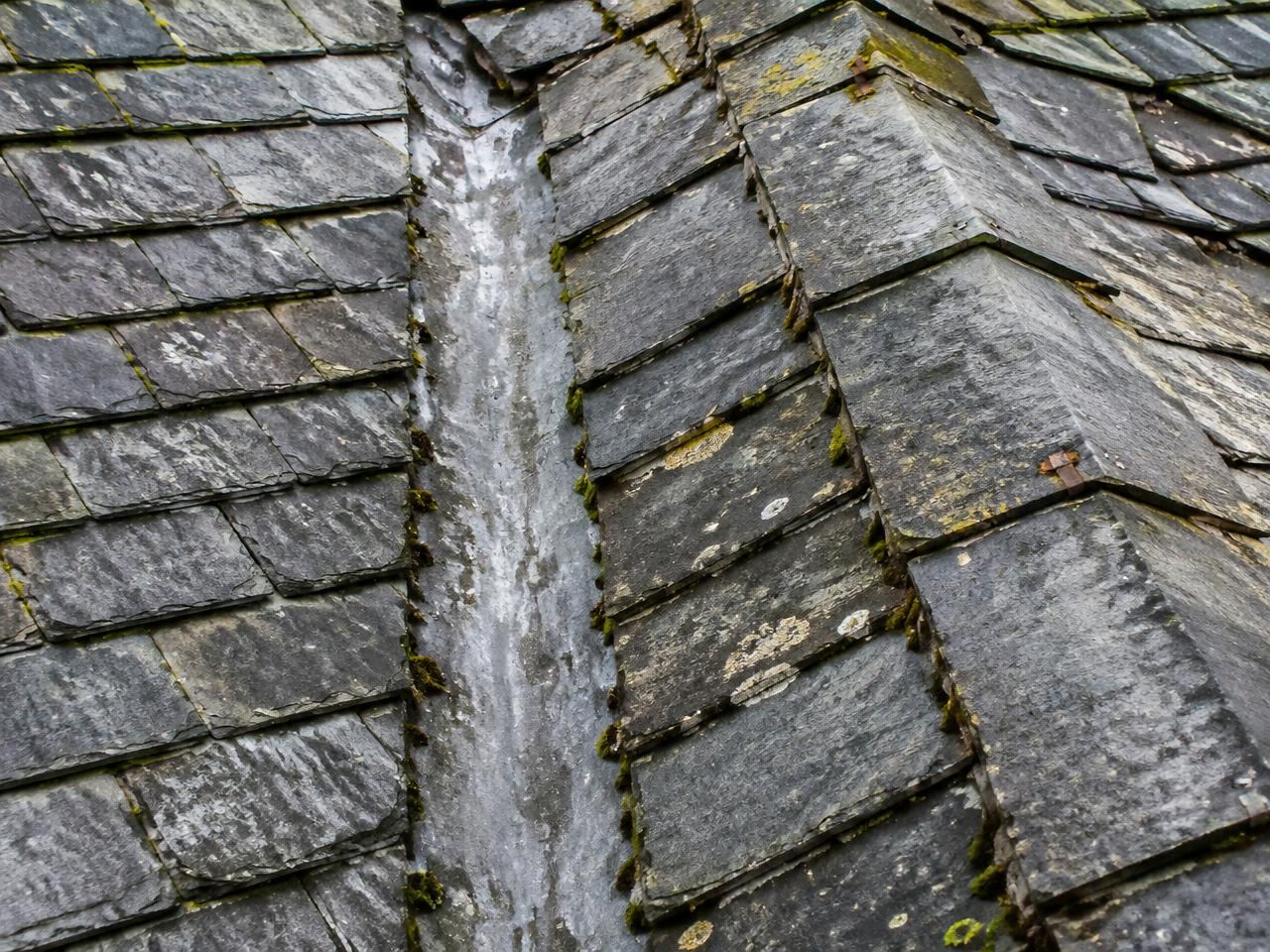
REF 01REF 01.3Illustrative images showing the presentation format. They are not Aero Tecta project records and no defects are identified in them.
03Two formats
Imagery only, or imagery with written findings.
FORMAT A
Imagery & Documentation
Organised high-resolution photographs and video, captured to an agreed brief for you or your appointed professional to assess.
- Photographs organised by agreed area or feature
- Video where included in the brief
- Clear image references for discussion
- Files suitable for review by your surveyor, engineer or contractor
FORMAT B
Inspection & Written Findings
Annotated photographs and concise observations about visible building defects, within the agreed inspection scope.
- Relevant inspection imagery
- Annotated photographs
- Concise observations on visible condition
- Identified limitations and areas needing further investigation
04Why a drone
A close look, without first putting people at height.
- Elevated detail
- Close views of roofs, stacks and high-level walls that are hard to see from the ground.
- Less disruption
- Potentially less disruption than temporary access for a first look.
- Useful records
- Referenced images for maintenance planning and contractor discussions.
- Repeatable
- Repeat photography from similar positions to monitor condition over time.
Physical access may still be needed for close examination, testing, opening-up and repairs. How we work
 REF 05
05 · The surveyor behind the camera
Drone imagery, informed by practical building knowledge.
Aero Tecta was founded by Neil Heyes, a building surveyor and drone pilot with more than 25 years of building surveying experience. He knows where water gets in, which junctions deserve a second angle and what a contractor needs to see before pricing work.
About Neil06Booking
Five straightforward steps.
- 01
Send the location and requirement
Tell us the address or postcode, what concerns you and what you need the imagery for.
- 02
We review suitability
We check the site, airspace, access and the outputs you need — and tell you plainly if a drone is not the right tool.
- 03
Agree scope and quotation
You receive a written scope confirming coverage and whether imagery-only or written findings are included.
- 04
Arrange a flight date
We schedule a suitable date, subject to weather and site conditions.
- 05
Receive your files
Organised, referenced imagery — and written findings where agreed.
07Questions
Frequently asked.
08Enquiry